After roaming around in the midwest during the past two summers, we decided
to head further west - to Idaho. Neither of us had ever been to Idaho,
Montana or Wyoming. So we applied to the Idaho Parks and Recreation
department for volunteer jobs. Very soon we were contacted by Ranger Bart,
who wanted us to help out at
Bruneau Dunes State Park in Southwest Idaho. We had expected
to be visiting Idaho's mountains and forests, rivers and canyons. We hadn't
realized that part of the state was desert. But since that was where they
needed us, we were game to try.
The Road to Idaho
We left home on May 28.
Our first destination was the little town of Lanesboro, MN.
There we had our annual get together with some of Gail's former co-workers
at the University of Minnesota, the MinnClan.
We were drawn to this little town and this particular time by the
opportunity to enjoy a rhubarb festival and attend plays preformed
by the Commonweal Theater Company.
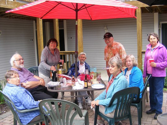
MinnClan gathering in the courtyard of the Green Gable Inn
where we stayed
|
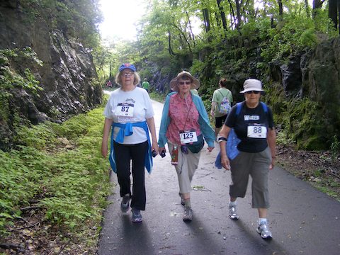
Ann, Gail and Maija participating in the Rhubarb Run
to benefit the local library
|
|
|
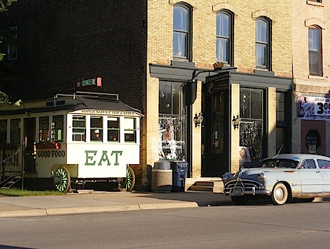
1920s-era Spud Boy Diner, where we had breakfast,
and the owner's Hudson Hornet
|
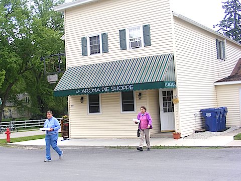
The Aroma Pie Shoppe, source of a tasty
Second Breakfast and dessert
|
|
|
After the Lanesboro interlude, we headed west again. We stopped very
briefly at the Little Big Horn, site of a tragedy for European and
Native American alike.
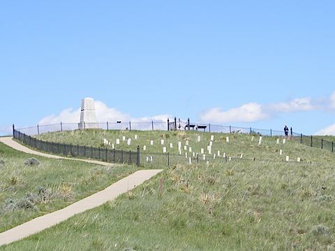
Hilltop where George Custer and some of his soldiers died.
Each marker indicates where a soldier's body was found.
|
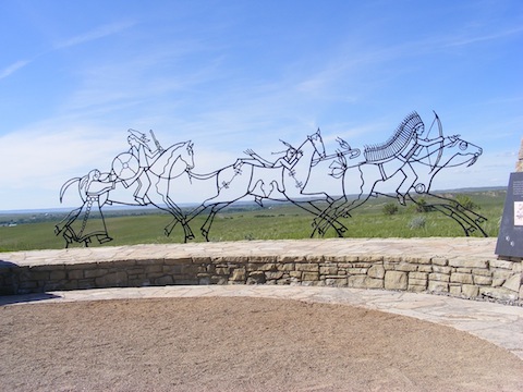
Sculpture to commemorate the Native Americans who died
and the loss of their way of life
|
|
|
Our next major destination was Yellowstone National Park.
Because of our schedule to arrive at
Bruneau Dunes State Park
in Southwest Idaho,
we did not stay there as long as we wanted, but we did see a lot
and thoroughly enjoyed our stay.
We camped in West Yellowstone, Montana, at the
Yellowstone Grizzly RV Park.
We hiked a mile-long trail to Harlequin Lake and a 5-mile trail to Beaver
Pond, but, happily, did not meet up with any grizzlies.
The only down side of our stay at Yellowstone was that our refrigerator
stopped cooling again, just like last
September in Wisconsin.
We made do by using the refrigerator as an ice box with ice cubes.
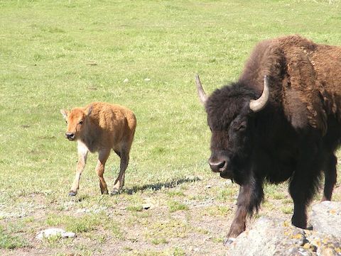
A bison with a calf, members of a herd of several dozen
along the Madison River
|
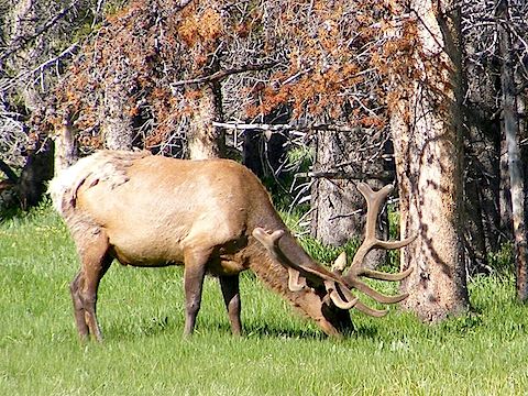
A bull elk near the Gibbon River
|
|
|
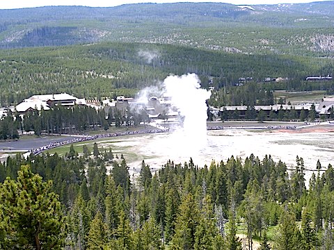
An eruption of Old Faithful geyser
seen from Observation Point
|
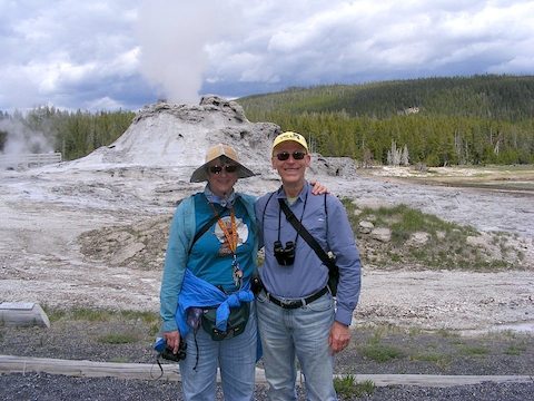
Us standing in front of Castle Geyser
in Yellowstone National Park
|
|
|
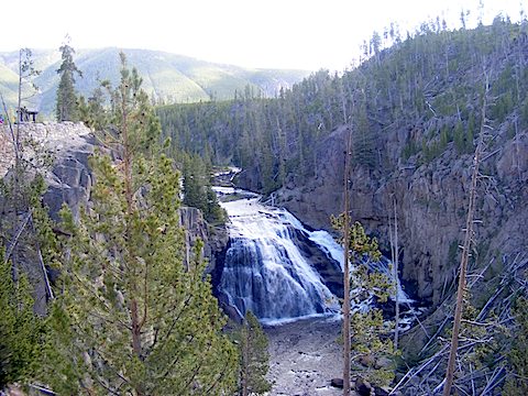
Gibbon Falls
|
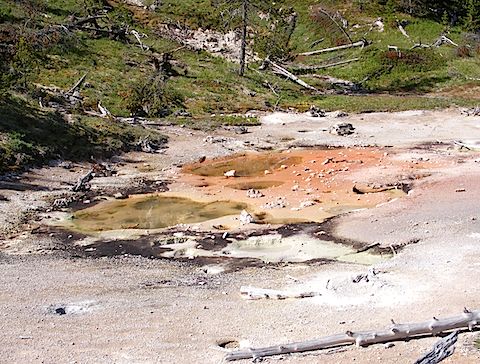
Some of the colorful hot water pools at the Artist's Paintpot site
|
|
|
In Idaho
We arrived at Bruneau Dunes State Park in late afternoon on Sunday, June 9.
Campground host Elver and Ranger Edgar helped us get settled into our
camping site.
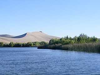
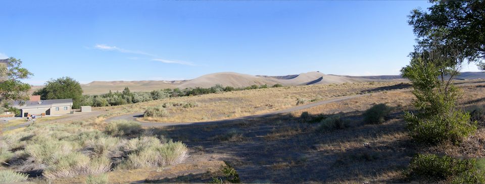
The main features of the park are a series of sand dunes located in an
ancient cove of the Snake River. The highest dune is about 470 feet high.
The park also features two small lakes and several ponds that are
maintained by pumping water into the lakes from the Snake River
during winter.
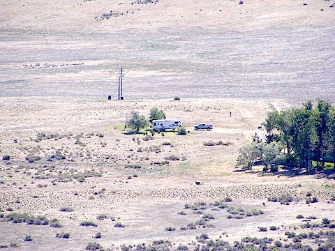
Our Moving House seen from atop the bluffs overlooking the park.
The green vegetation is due to weekly watering.
|
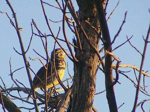
Right behind our trailer is a dead tree where Western Meadowlarks,
Western Kingbirds and other birds alighted
|
|
|
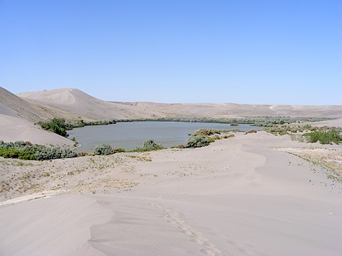
Big Dune Lake, seen from one of the small dunes
north of the lake.
|
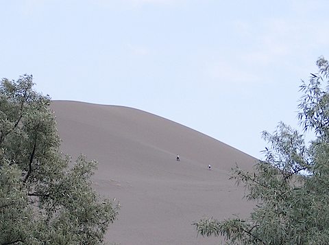
Climbers part way up the 470-foot high Big Dune.
We refered to them as “ants”.
|
|
|
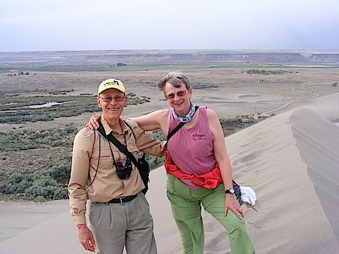
We reach the top of the Big Dune.
It was not easy. One step up, close to one step sliding back.
|
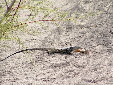
A Western Whiptail Lizard about to snack on
an insect near the Little Dune Lake
|
|
|
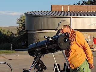
We were interpretive hosts at Bruneau Dunes.
Most of our duties were to assist with the
Friday and Saturday evening open houses at the park's observatory.
The observatory has a 25-inch Dobsonian, and they have number of smaller
telescopes and a pair of naval binoculars that are set up on the plaza
in front of the observatory. The sky here is quite dark so that the Milky
Way and other faint objects are easily visible when not drowned out by
the Moon.
Al gave
pre-observing presentations
on Saturdays. He talked about
about Hubble's trials and triumphs, behind the scenes at
Hubble, the invisible universe, exoplanets and variable stars.
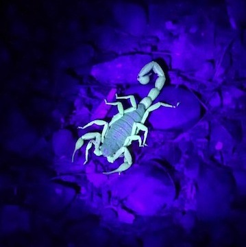
Gail assisted with the observing and led scorpion walks
after dark; scorpions glow green when a UV flashlight shines on them.
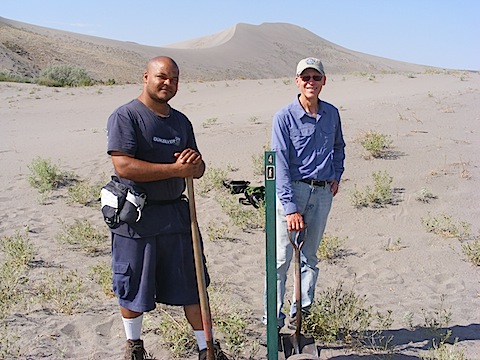
We also took on a project to update a nature trail around the
Little Dune Lake. There was a descriptive brochure, but all but one
of the trail markers were missing and there was no map. We located
the described positions as best as we could, combined and deleted
locations to simplify the trail, created a map, and installed as
many new trail markers as we had available.
We scheduled ourselves to lead the nature walks
around the Little Dune Lake at 9 a.m. Saturday mornings, difficult
after our late night observatory support on Friday evenings.
We had no customers
until our last Saturday, when two campers joined us.
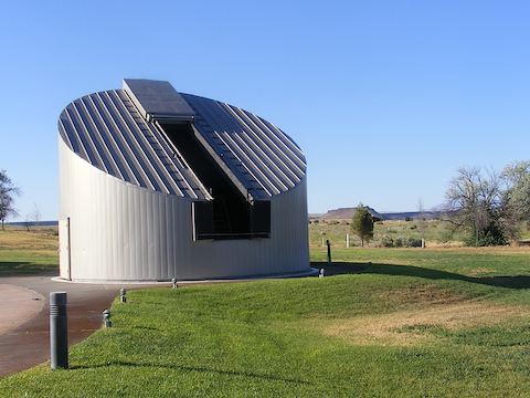
Observatory with the 25-inch telescope
The whole building rotates to align the slit with the sky.
|
A scorpion glowing under ultraviolet light
(Great photograph by Mary Bybee)
|
|
|
Theo and Al after installing Marker 4
on the Little Dune Lake interpretive nature trail
|
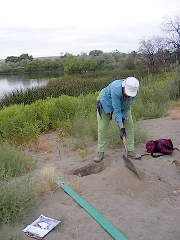
Gail digging a hole for Marker 9
on the Little Dune Lake interpretive nature trail
|
|
|
|
It was hot here in southwest Idaho. When we arrived,
on June 10, it was 91ºF, and it mostly remained
unseasonably hot until summer arrived and then it
just was seasonably hot. The humidity was low, but,
even so, temperatures of 105ºF to 107ºF felt hot.
We did spend a lot of our afternoons in air conditioning,
often with a siesta.
The heat and dry weather increased the risk of wildfires.
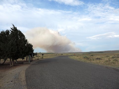
After one storm with lightning and very little rain, we
saw this smoke rising to the east of us. Fortunately
it turned out to be about 13 miles away and was quickly
extinguished by firefighters from the Bureau of Land Management.
However, other fires north of Boise continued out of
control for over a week.
On three occasions winds of 50 to 60 miles per hour arose
within a half hour, bringing dense dust clouds. They
rocked our Moving House. The worst occurred on
the 4th of July when it blew over some trees in the
campground, but did us no damage.
After nearly two weeks in Idaho, we had good news about the
misbehaving refrigerator. An RV repairman in Mountain
Home found that a sensor had fallen out of its holder.
Simply sticking it back where it belonged solved the problem!
|
|
We explored this region of Idaho with short trips during our off-days, Monday
and Tuesday. The places we went include
Bruneau Canyon Overlook,
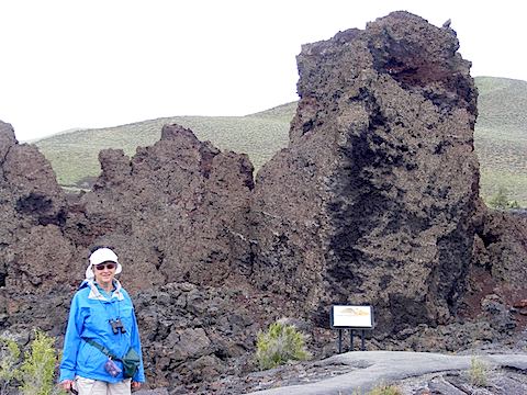
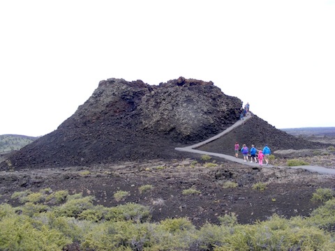
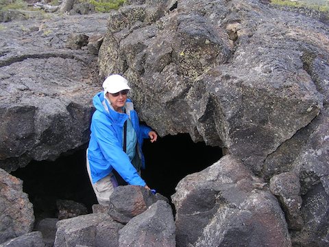
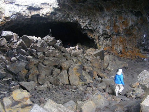
Craters of the Moon National Monument,
Sawtooth Mountains National Recreation Area,
the 1000 Springs area,
and more.
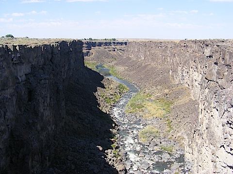
Bruneau
Canyon is located relatively near Bruneau Dunes State Park so
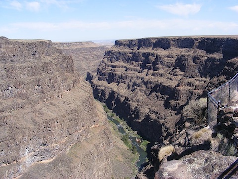
this is one of the first places we visited. The canyon is 800 feet deep and
1,300 feet across at the access location. The river provides exciting
rafting trips in spring when the water is high.
Bruneau River Canyon
|
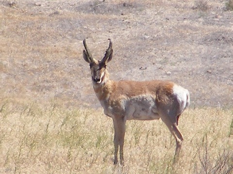
A pronghorn antelope near the canyon
|
|
|
In the first week of July, to escape the heat (and because
we wanted to see them) we took an overnight trip to the
mountains.
This was the Idaho we had expected to see when we signed up to
volunteer.
We stayed overnight in Stanley in a motel on the bank of the Salmon River,
the
River of No Return.
We ate dinner in a restaurant on the bank of the
same river and, from the dining deck, saw an osprey and a bald eagle
fly downstream.
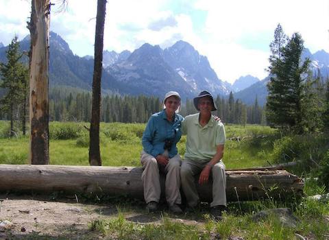
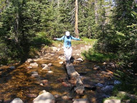
We took three short, day hikes while there, along Fishhook Creek, along
Fourth of July Creek and to Titus Lake. The most isolated was on
Fourth of July Creek trail. To get to the trailhead, we drove 10 miles
on a rough one-lane dirt road. We did not meet cars going the opposite
direction when we drove in, but coming out we encountered several.
By pulling off the road we managed to pass each other
without backing up long distances.
At the end of a 2-mile hike up Fishhook Creek
|
Gail negotiating a bridge on the Fourth of July Creek trail
|
|
|
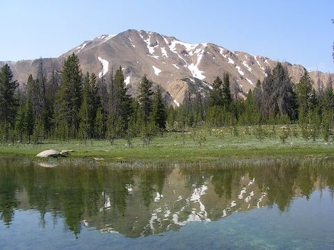
Washington Peak (10,519') reflected in Fourth of July lake
|
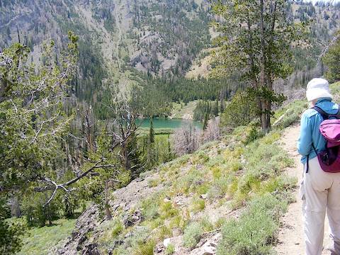
Arriving at Titus Lake
|
|
|
The 1,000 Springs area includes Idaho's Thousand Springs State Park,
Hagerman Fossil Beds National Monument and more.
Thousand Springs State Park has a number of separated units
of which we visited Malad Gorge, Earl M. Hardy Box Canyon and
Niagara Springs. The area is called 1,000 springs because
water, which enters the aquifer up to 250 miles north and east of
this location, bursts from the side of the Snake River
Canyon all along this stretch of river.
We also swam in the geothermal pools at
Miracle Springs south of the Snake River, but no photos exist of that.
250-feet deep Malad Gorge, near Hagerman, Idaho.
Named because some French trappers became sick after eating meat here
|
Ruts of the Oregon Trail going up a gully
in the Hagerman Fossil Beds National Monument
|
|
|
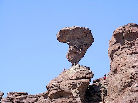
I would not want to be near this during an earthquake!
Balanced Rock near Buhl, Idaho
|
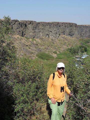
Gail on the trail descending into the Box Canyon.
All the water in the river comes from spring which produces
2,640 gallons of water per second at the head of the canyon.
|
|
|
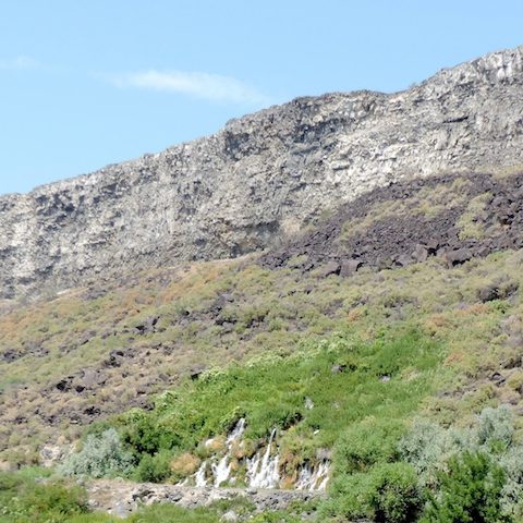
Water gushing out of the hillside above Crystal Lake
at the Niagara Springs unit of the state park
|
|
Some other places we visited included
the C.J. Strike Wildlife Management Area,
Poison Creek, Three Island Crossing State Park,
Celebration Park and the
Idaho Bird Observatory
on Lucky Peak.
One afternoon we visited a former colleague of Al's
who is observatory director at the
Herrett Center of the
College of Southern Idaho.
In Boise we also visited the
World Center for Birds of Prey,
Basque Museum,
the Mining and Geology Museum
and the Old Penitentiary.
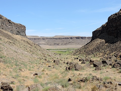
Looking from a small side canyon down to the Snake River
and the opposite cliffs in the C.J. Strike Wildlife Management Area
|
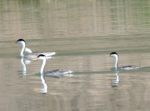
Clark's Grebes on the Snake River in C.J. Strike
|
|
|
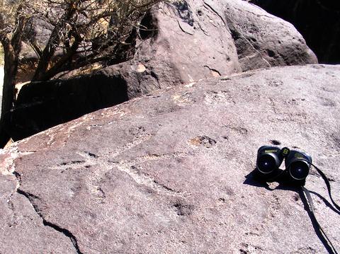
Star-shaped petroglyph made by Native Americans long ago.
Now in Celebration Park, Melba, ID, the star's arms align with the
solstice and equinoctial sunrises and with the North Star.
|
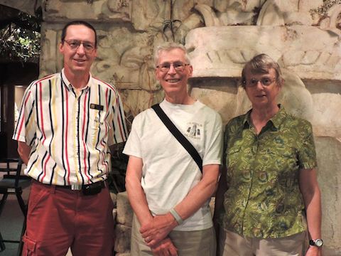
Chris, Al and Gail at the Herrett Center
of the College of Southern Idaho
|
|
|
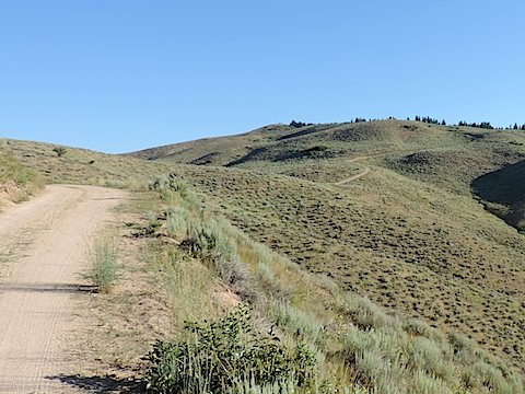
The road to the Idaho Bird Observatory, 6 miles of one-lane dirt,
sometimes rutted, sometimes washboard, always exciting!
|
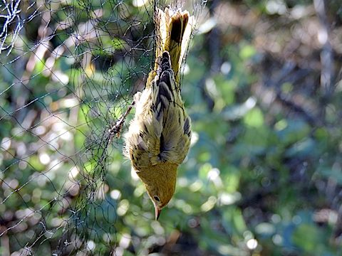
A yellow warbler caught in the mist-net, ready to be extracted,
evaluated, banded and released at the Idaho Bird Observatory.
|
|
|
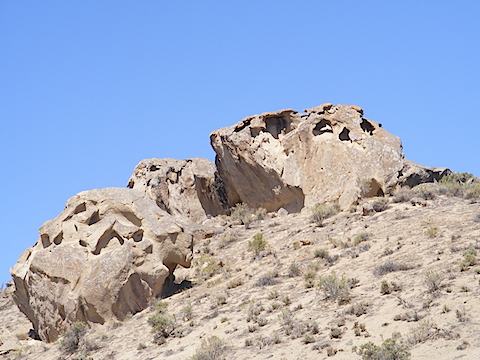
Rock formation on the way to Poison Creek
|
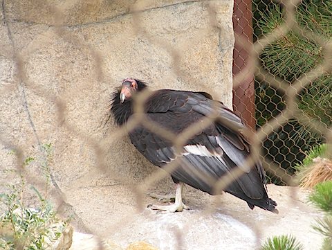
California Condor at the World Center for Birds of Prey,
where endangered birds are bred to be released to the wild
|
|
|
On The Way Home From Idaho
After ending our stay at Bruneau Dunes, we meandered our way home, visiting first
Glacier-Waterton International Peace Park
in the northwest corner of Montana,
then Theodore Roosevelt National Park
in western North Dakota, and finally family and friends further east.
We arrived back in Maryland on Aug. 21.
The scenery at
Glacier National Park was spectacular!
And we saw mountain goats,
a bighorn sheep and, from our truck, maybe a grizzly or two.
On the first day the weather was
beautiful. We first took the park shuttle up the Going to the Sun Road to
Logan pass. There we hiked up (1.5 miles one way and 460 feet of climbing)
to the overlook for Hidden Lake and a little
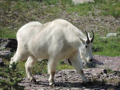
beyond. At the overlook a mountain goat wandered in to give us a really good
view. After returning to the pass, we took another shuttle down to Avalanche
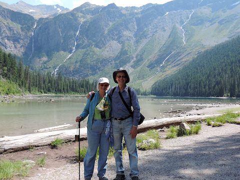
Creek. There we hiked hiked up the creek to Avalanche Lake (2.0 miles one way and
500 feet), where waterfalls cascade down from Sperry Glacier, which is hidden
behind a ridge.
Although the next day began with clouds and a brief rain shower, we
decided to go to the Many Glaciers area. There a ranger dude convinced us to
buy a can of bear spray. Then we headed up the
trail to
Grinnell Glacier
(5.5 miles one way and 1,500 feet up). Since we were still weary from the
previous day's hikes, we stopped frequently to debate whether to go on or
to turn back. We went on and the Sun broke through the clouds at times.
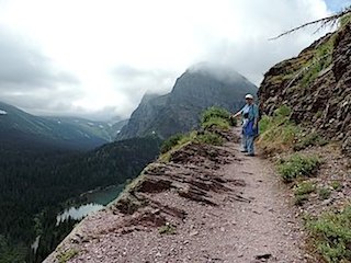
Except for the last few hundred yards, the trail did not seem too steep
although in one place it followed a narrow ledge across a cliff face and
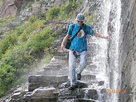
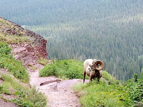
once we had to walk through a small waterfall. On the way down
we found a bighorn sheep browsing at the side of the trail.
Friday began overcast again. We drove north to Waterton Lakes National Park
in Alberta. The landscape there generally was gentler than in Glacier.
We did not attempt any
long hikes, but we did enjoy a lunch alongside the lake and shopping in the
park village.
Our last day at Glacier began sunny, and we joined a ranger-guided hike
through the different habitats on the Beaver Pond Trail (a 2.5 miles loop
with only 150 feet of climbing). Afterwards we hung out at the St. Mary
Visitor Center and talked with the volunteers who had solar telescopes
set up for the visitors. In late afternoon we had showers with lightning and
hail so we stayed at the Moving House.
According to the Birds of Glacier check list, Gray Jays, Stellar's Jays,
Townsend's Solitaires, Three-toed Woodpeckers, Rufous and Calliope
Hummingbirds, Red Crossbills, Evening Grosbeaks,
Wigeons, Goldeneyes and more are common in the park during the summer.
And golden-crowned kinglets are abundant.
All we identified were robins, swallows, crows
and a solitary red-tailed hawk. Of course, we had ignored the advice that the
early bird sees the bird.
While at Glacier, our refrigerator failed again. The easy fix did not
work so we used it as an ice box for the remainder of the summer.
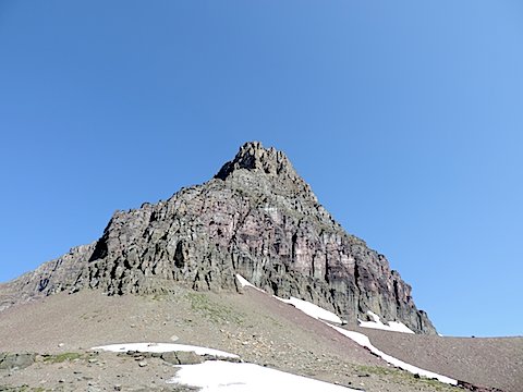
Craigy Clements Mountain - 8760 feet high
above Logan Pass at Glacier National Park
|
Mountain goat near the Hidden Lake Overlook
above Logan Pass
|
|
|
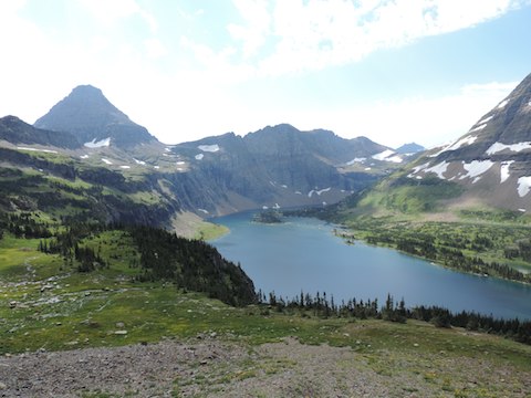
Hidden Lake from the trail; Reynolds Mountain (9125 feet) is on
the left and the base of Bearhat Mountain (8684 feet) on the right
|
Us at Avalanche Lake with cascading streams
coming from Sperry Glacier
|
|
|
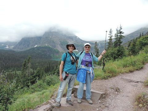
Us on the trail to Grinnell Glacier. The glacier is above
Gail's head but behind a cloud. Grinnell Lake is far below
and is visible behind Al's shoulder.
|
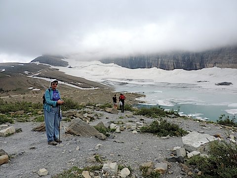
Gail on the overlook for Grinnell Glacier.
The clouds lifted just enough for it to be visible.
|
|
|
A small waterfall flows
over the Grinnell Glacier Trail;
Al takes an icy shower.
|
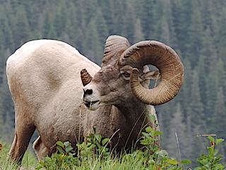
A bighorn sheep having lunch on the trail
our trail or his?
|
|
|
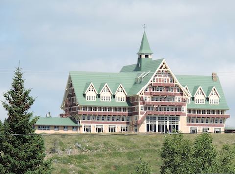
The Prince of Wales Hotel seen from Waterton Park Village
|
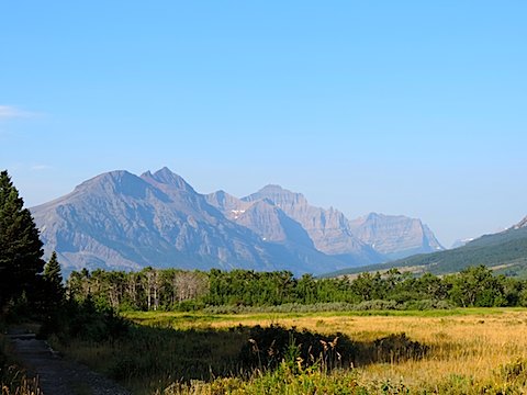
A few of the mountains visible from the 1913 Ranger station
at St. Mary
|
|
|
Al had expected to see lots of flat prairie with large
herds of bison
when we got to the
Theodore Roosevelt National Park.
Was he ever surprised!
We did walk across plenty of prairie and did see bison,
but most of the park is centered on
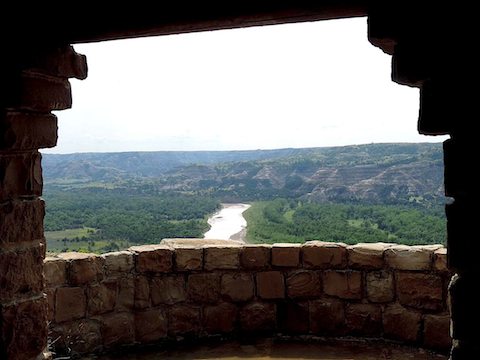
badlands around the Little Missouri River. There are even a lot of petrified
trees.
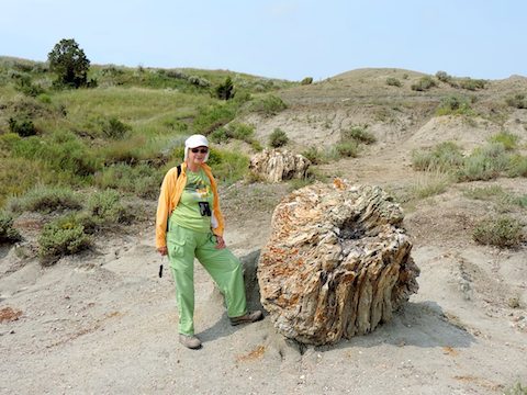
Our longest hike was to the petrified forest in the wilderness area of
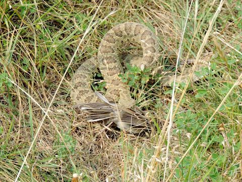
the southern unit of the park. On the way, Gail nearly stepped on a
snake lying on the trail. It was a very-much-alive prairie rattlesnake
with struggling bird in its jaws. This was an educational experience for us.
1) We learned that snakes can catch birds. 2) We learned to watch very
carefully where we were walking to be sure that no snake would catch us.
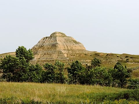
A natural pyramid?
Much of the landscape is covered with conical hills.
|
RattleSnake with a live bird in its mouth
on the trail to the petrified forest.
|
|
|
Gail with a petrified tree stump
|
The Little Missouri River seen from a shelter
constructed by the CCC at the big bend of the river
|
|
|
There and Back Again
Responsible: Albert Holm
Updated: 10 December 2013; 7 Sept 2019


