Victor Holm’s house completed with a porch, siding and a flag pole. The windmill has been removed. On the other side of the field is the chicken coup. The view is toward the east, with north toward the left side.
This map shows approximately where the house is located. The town of Iron River is approximately 3.5 miles west. Before gentrification set in, “Wildwood Lake” was known at that time as “ 28 Lake”. The consolidated school and a small grocery store were located in Rogers Location.

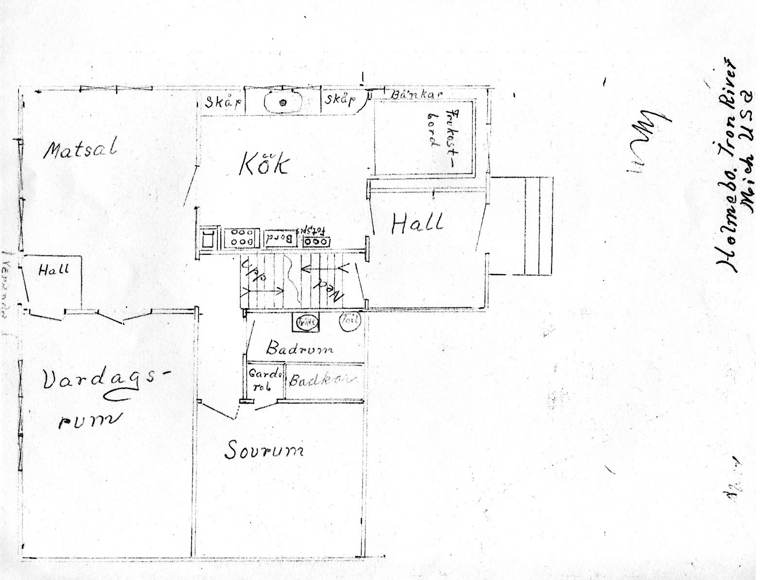
This image shows the ground floor plan that Victor drew. North is to the top. The home also had a basement. A coal chute on the north basement wall led to a coal storage bin under the kitchen.
|
|
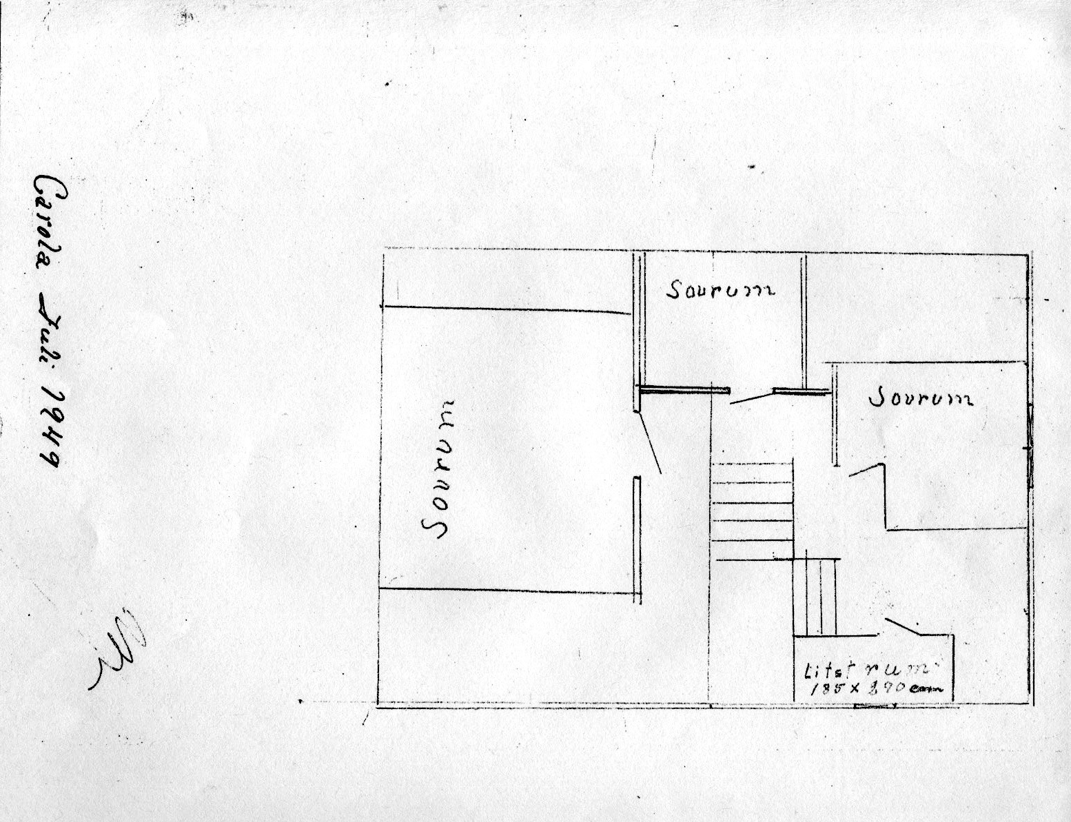
This image shows the upstairs floor plan. North is to the right.